First Nav
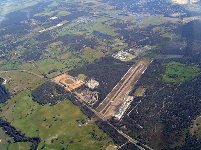
On the second of November I went on my first navigation sortie. I had to fly from jandakot to Bunbury, then Collie, and then back to Jandakot. The trip is only two hours long and spans nearly 250 miles. Currently I'm flying only by visual guides so I need to look out for land features when I fly. Before the sortie I had to plan out my route, check the weather, check the winds to adjust my heading so I wont be blown off course. Suprisingly alot of preparation is needed before going off.
The trip started out with me being slightly nervous since I've never flown a nav and this time I had another passenger along. My coursemate was sitting behind me enjoying the view and munching on biscuits as our instructor rattled on with what I need to do.
The scenery is just astounding. Summer hasnt really arrived yet, so the ground is still green and verdant. I've never flown up more than 3500 feet before this (college limit 46 miles from Perth). Going further south, we reached heights of 5500 feet. We passed by town after town. Most towns in Western Australia are really small with only a few buildings that could be seen from this high. The route I planned out basically follows the coastline. The coast is beautiful with the deep blue sea sparkling on my right and the green hills of the Darling Range on my right.
Glad to say the wind forecast was true and I managed to reach mostly all my checkpoints according to the plan. Can't wait to go for more nav sorties. The workload is higher than before, but the sights are worth it.
